
Panama City is founded on the Pacific.
About Panama
The city, the canal and the rest of Panama
The Pacific twenty minutes on foot, the rainforest ten by car.
A short guide from Calle 50: what to see in the city, where to eat, the day trips worth an early start, and the practical side.
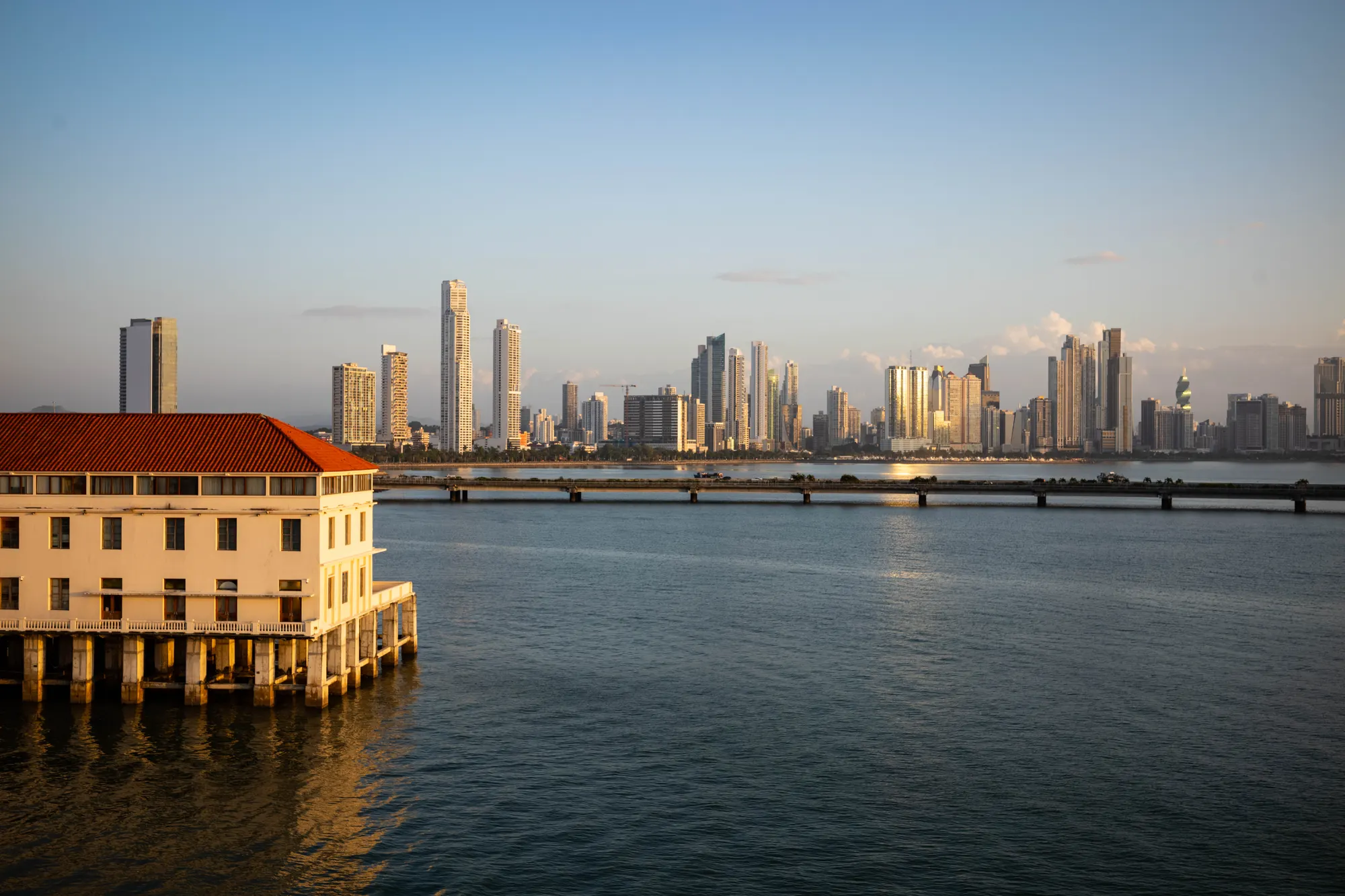
The Canal, from the Caribbean to the Pacific.
The Canal, open since 1914, passes to Panama.
Volcán Barú, the highest point in the country.
The city
Close to home
Old quarter, waterfront, locks and rainforest, all within a short ride.
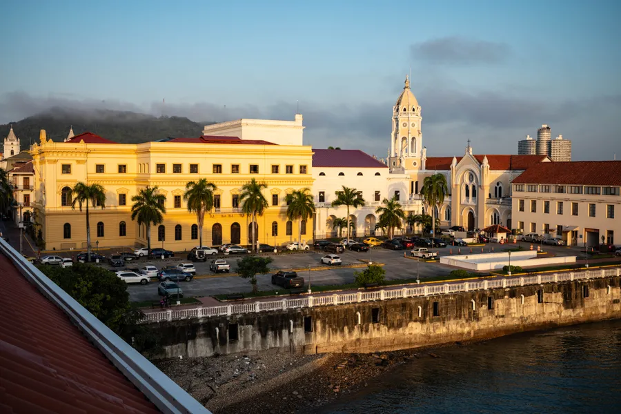
Casco Viejo
The old quarter, settled in 1673 after pirates razed the first city. A UNESCO World Heritage Site since 1997.
10 min by car
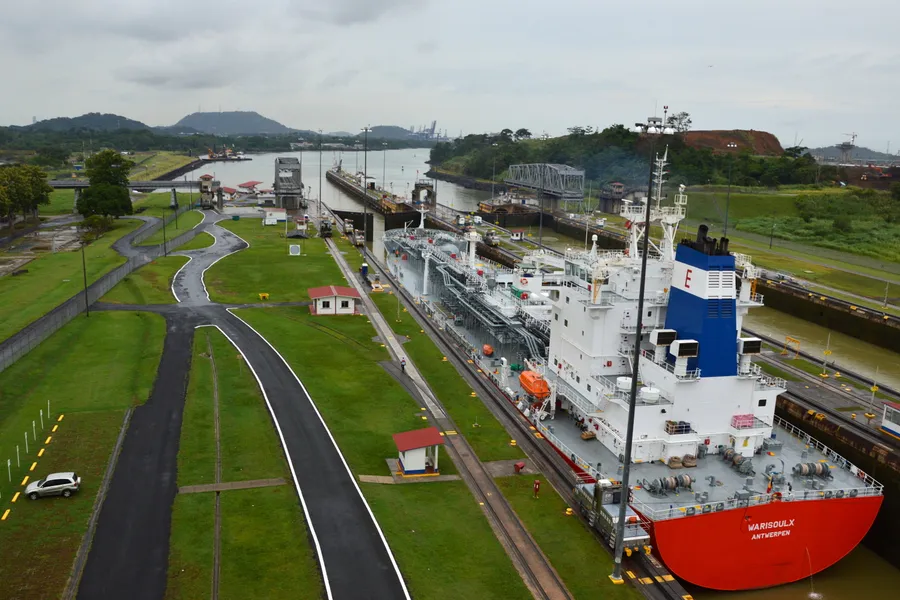
Miraflores Locks
Watch ships rise or drop 16.5 m on their way to the Pacific, from the visitor center terraces. Plan about an hour and a half.
20 min by car
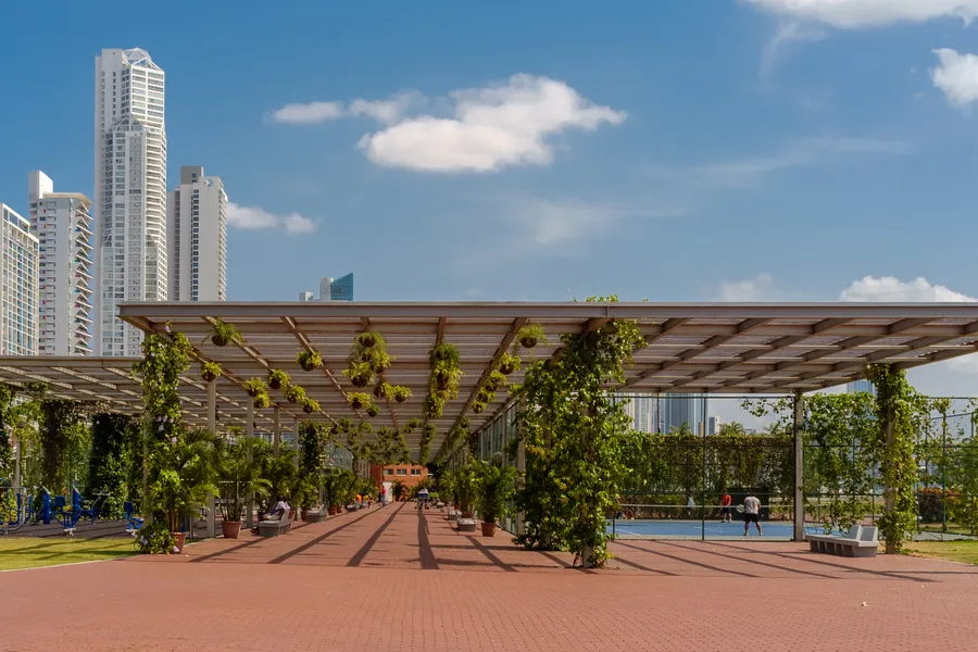
Cinta Costera
26 hectares of waterfront parkland along the bay, from Paitilla to El Chorrillo.
20 min on foot
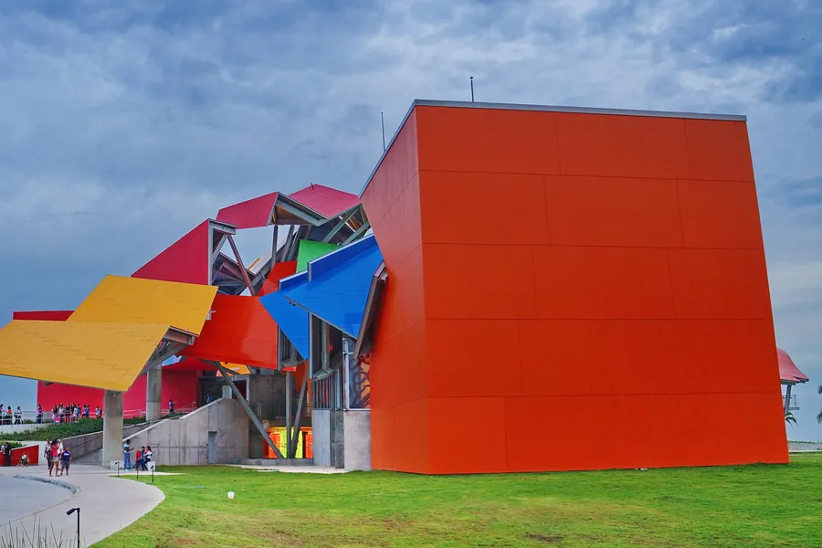
Biomuseo
Frank Gehry's first building in Latin America, on how the rise of the isthmus changed the world.
15 min by car
Amador Causeway
Built with rock dug out of the Canal, it links four small islands at its Pacific entrance, with a path for bikes and runners.
20 min by car
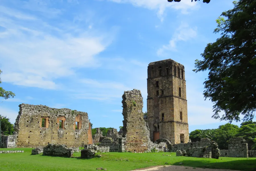
Panamá Viejo
Ruins of the original city, destroyed in 1671 by Henry Morgan. A UNESCO World Heritage Site.
10 min by car
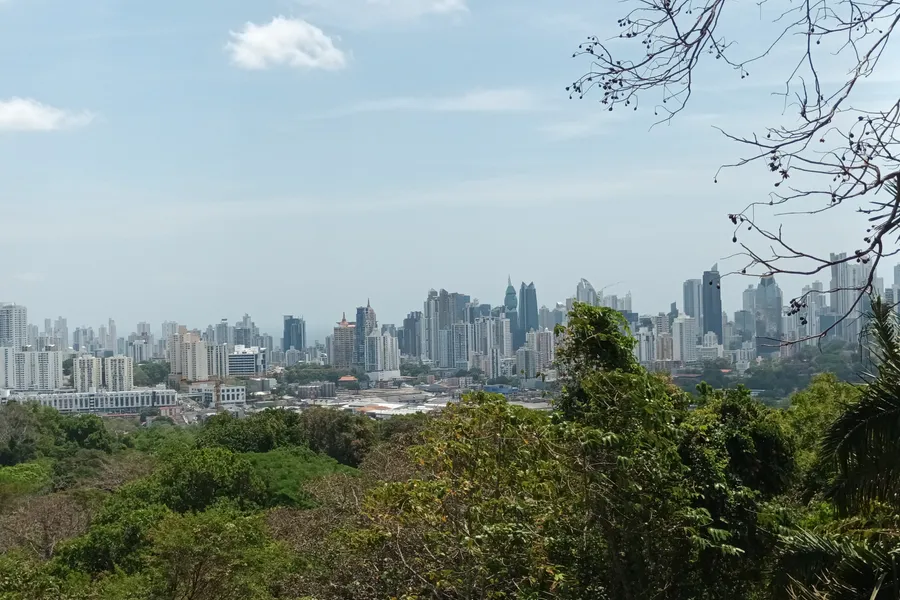
Metropolitan Natural Park
A protected forest inside the city, inaugurated in 1988.
10 min by car
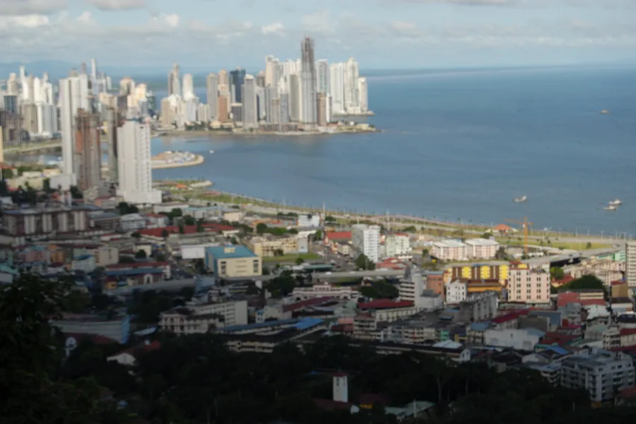
Ancon Hill
At 199 m, the highest point in the city. Sloths, coatis and tamarins live on its slopes.
20 min by car
Mercado de Mariscos
The seafood market at the end of the waterfront, with ceviche stands and seafood restaurants.
10 min by car
Times from the hotel, measured with OpenStreetMap routing and without traffic. At rush hour, allow more.
Experiences
Days worth an early start
The Canal from the water, the forest along its banks and the communities upriver.
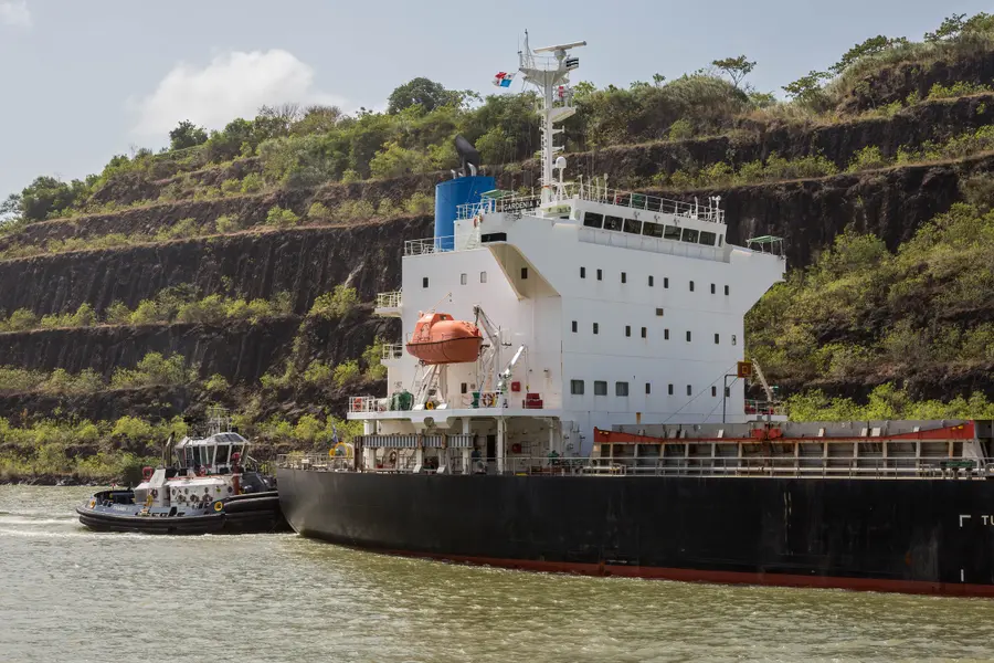
Partial Canal transit
Tour boats cross the Pedro Miguel and Miraflores locks between Gamboa and Amador.
Organized tour, usually from Flamenco Marina in Amador
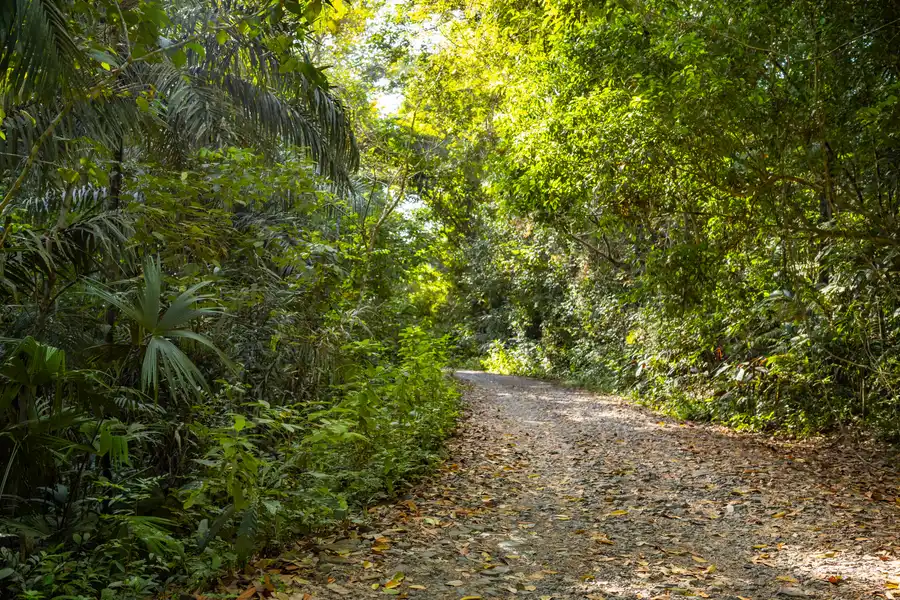
Soberanía National Park
Rainforest along the Canal and Pipeline Road, where the local Christmas Bird Count regularly logs over 300 species in a day.
30 min by car
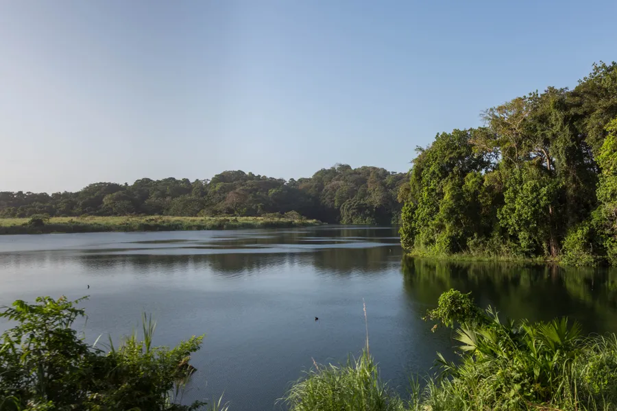
Gatun Lake
Created in 1913 to carry ships across the isthmus. Small boats leave Gamboa for the islands where monkeys live.
Boat tour from the Gamboa harbor
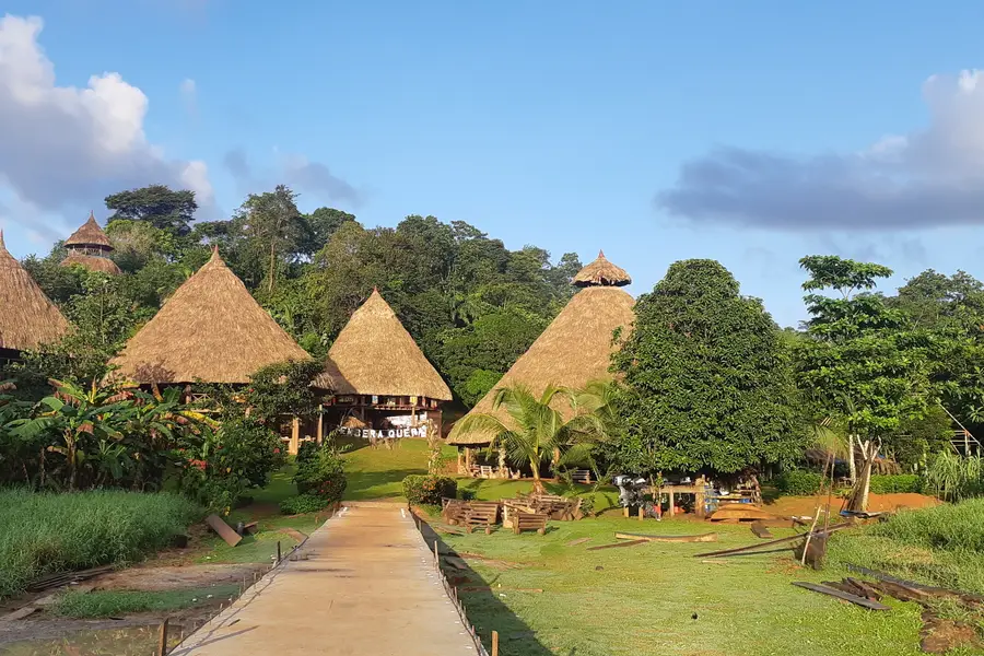
Emberá communities
Upriver by dugout canoe inside Chagres National Park, for a welcome dance, crafts and a talk on Emberá life.
Organized tour, by road and canoe
Rainforest Discovery Center
A 32 m tower above the canopy, forest trails and a hummingbird deck, next to Pipeline Road.
45 min by car
Agua Clara Locks
The visitor center of the new Atlantic locks, looking over Gatun Lake and the Neopanamax chambers.
1 h 15 min by car
Beaches and islands
Two oceans to choose from
An island by ferry, the Caribbean by boat, the Pacific coast by car.
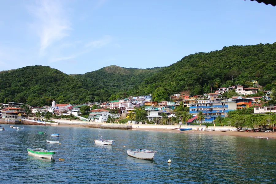
Taboga Island
The island of flowers, with a village beach and quieter beaches on the far side.
Ferry from the Amador Causeway, 30 to 45 min
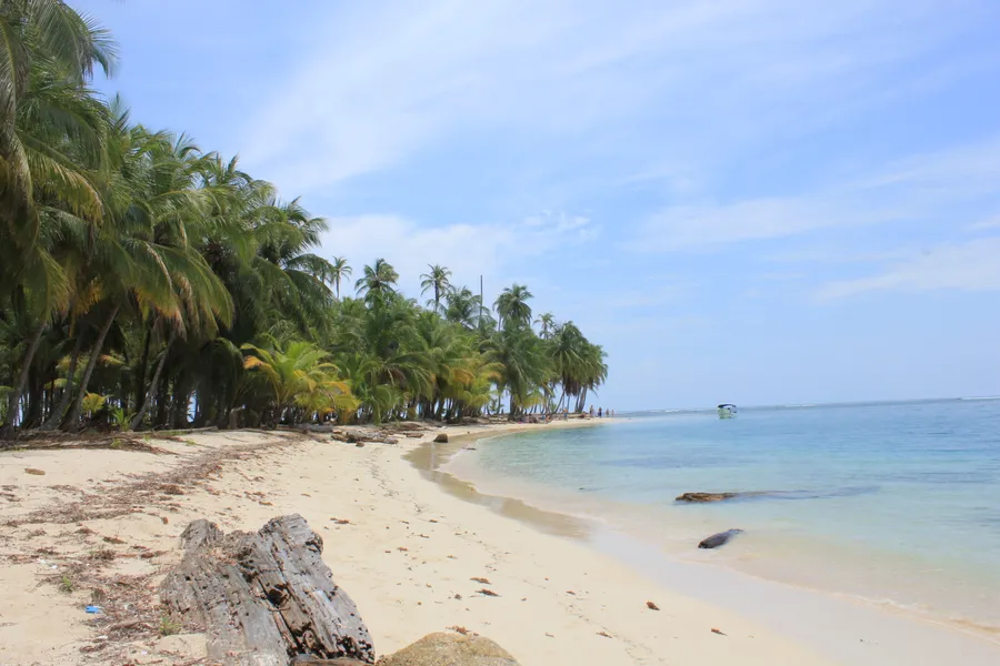
Guna Yala (San Blas)
An Indigenous comarca on the Caribbean coast, home of the Guna people. Bring bottled water.
4x4 to the port of Cartí, then by boat, or a flight from Albrook
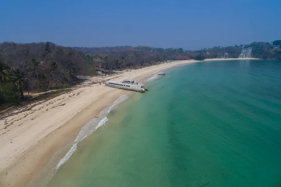
Contadora, Pearl Islands
One of more than 200 islands and islets in the Gulf of Panama, small enough to cross in five minutes by car.
Ferry, about 1 h 30 min, or a domestic flight
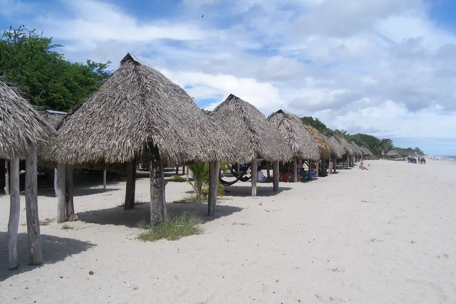
Santa Clara
A fishing village with a white sand beach, more locals than tourists.
1 h 45 min by car
Coronado
The first beach resort in Panama, on the Pacific coast west of the city.
1 h 20 min by car
Bocas del Toro
A Caribbean archipelago near Costa Rica, one of the country's main destinations. Bring bottled water.
Flight from Albrook, about an hour
Mountains
Cooler air, higher up
Coffee towns, a volcanic valley and the highest peak in Panama.
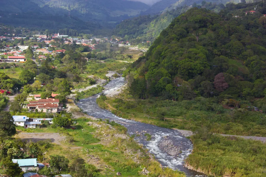
Boquete
A mountain town in Chiriquí at about 1,200 m, home of Hacienda La Esmeralda and its prized Geisha coffee.
Flight to David, then by road
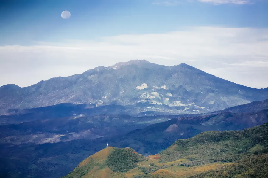
Volcán Barú
At 3,475 m, the highest point in Panama. On a clear day the summit looks over both oceans.
From Boquete or Cerro Punta, in Chiriquí
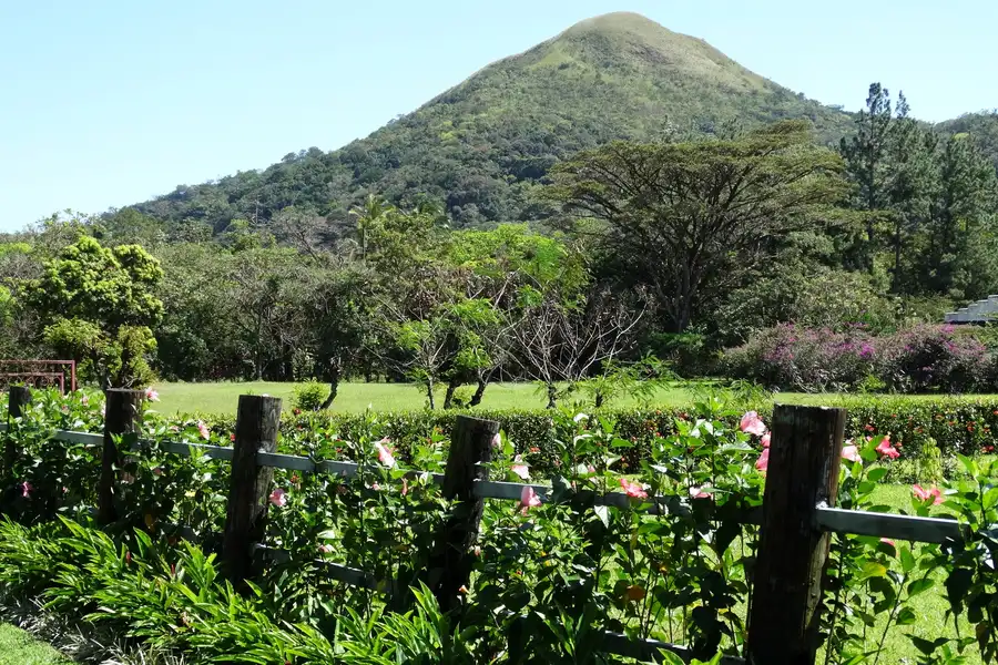
El Valle de Antón
A town on the floor of a volcanic caldera about 6 km wide.
2 h 25 min by car
Altos de Campana
Panama's first national park, created in 1966, in the hills west of the city.
1 h 40 min by car
Where to eat
Near the hotel, and worth the ride
Good to know
The practical side
Money
US dollars. The balboa is worth the same and comes only in coins.
Language
Spanish is the official language.
Weather
Warm all year, 26 to 27 °C on average. Dry from mid-December to April; rain from May to November, usually short and heavy.
Time
UTC-5 all year, no daylight saving.
Getting around
Iglesia del Carmen, on Metro Line 1, is the closest station. Uber, inDrive and Cabify work in the city.
Tipping
Voluntary by law, 10% is usual. Check the bill first: some places already add service.
Plugs
120 V, 60 Hz, North American plugs (types A and B).
Safety
Watch your belongings in crowds and on buses. At night, use a ride app or ask us for a ride.
Airport
Tocumen (PTY) is 21 km away by road, about 25 min without traffic. Domestic flights leave from Albrook (PAC).
Entry
Requirements depend on your passport. Check them before you fly.
Guest Experience Manager
Need a ride, a dinner reservation or show tickets? Ask our Experience Concierge.

Coffee shop
La Résidence Café
Fresh dishes, premium coffee and food to go.
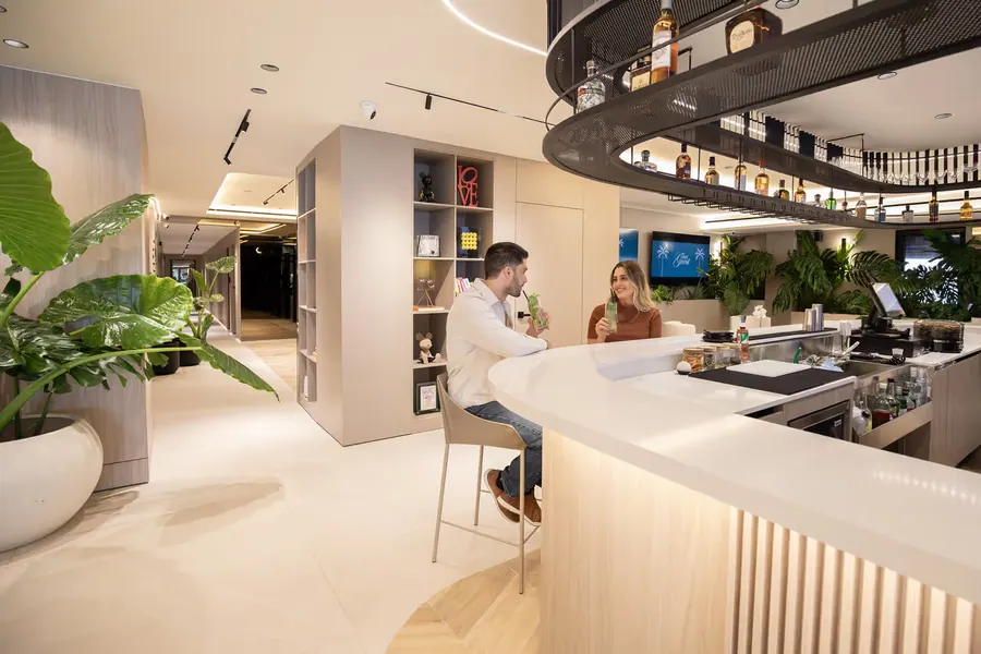
Bar
Drink In
A drink to close the day, without leaving home.
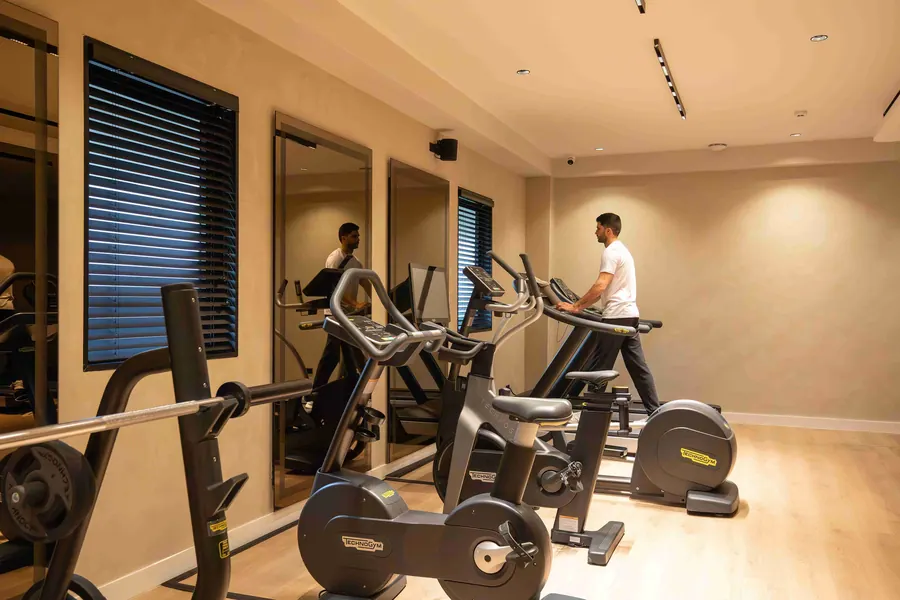
Fitness
The Fitness Room
Keep your routine on track.
Photo credits
Photos from Wikimedia Commons, cropped and compressed. License on each file page.
- About Panama: RB Photo, CC BY 2.0
- Casco Viejo: RB Photo, CC BY 2.0
- Miraflores Locks: Ivo Kruusamägi, CC BY-SA 4.0
- Cinta Costera: Felipe Valduga, CC BY 2.0
- Biomuseo: Editorpana, CC BY-SA 4.0
- Panamá Viejo: SaavedraRob, CC BY-SA 4.0
- Metropolitan Natural Park: Josefito123, CC BY-SA 4.0
- Ancon Hill: TEDBARTH, CC BY-SA 3.0
- Partial Canal transit: David Brossard, CC BY-SA 2.0
- Soberanía National Park: RB Photo, CC BY 2.0
- Gatun Lake: David Brossard, CC BY-SA 2.0
- Emberá communities: Elvin Flaco, CC BY-SA 4.0
- Taboga Island: Ayaita, CC BY 3.0
- Guna Yala (San Blas): Ayaita, CC BY 3.0
- Contadora, Pearl Islands: dronepicr, CC BY 2.0
- Santa Clara: Mir Rodriguez, CC BY-SA 3.0
- Boquete: Ayaita, CC BY-SA 3.0
- Volcán Barú: Alex Proimos, CC BY 2.0
- El Valle de Antón: Adam Jones, CC BY-SA 2.0